


Ocean Data and AI
Since 2005, the number of high tech sensors in the oceans has increased from virtually none to 750,000. The information they gather is worth over $5 billion.
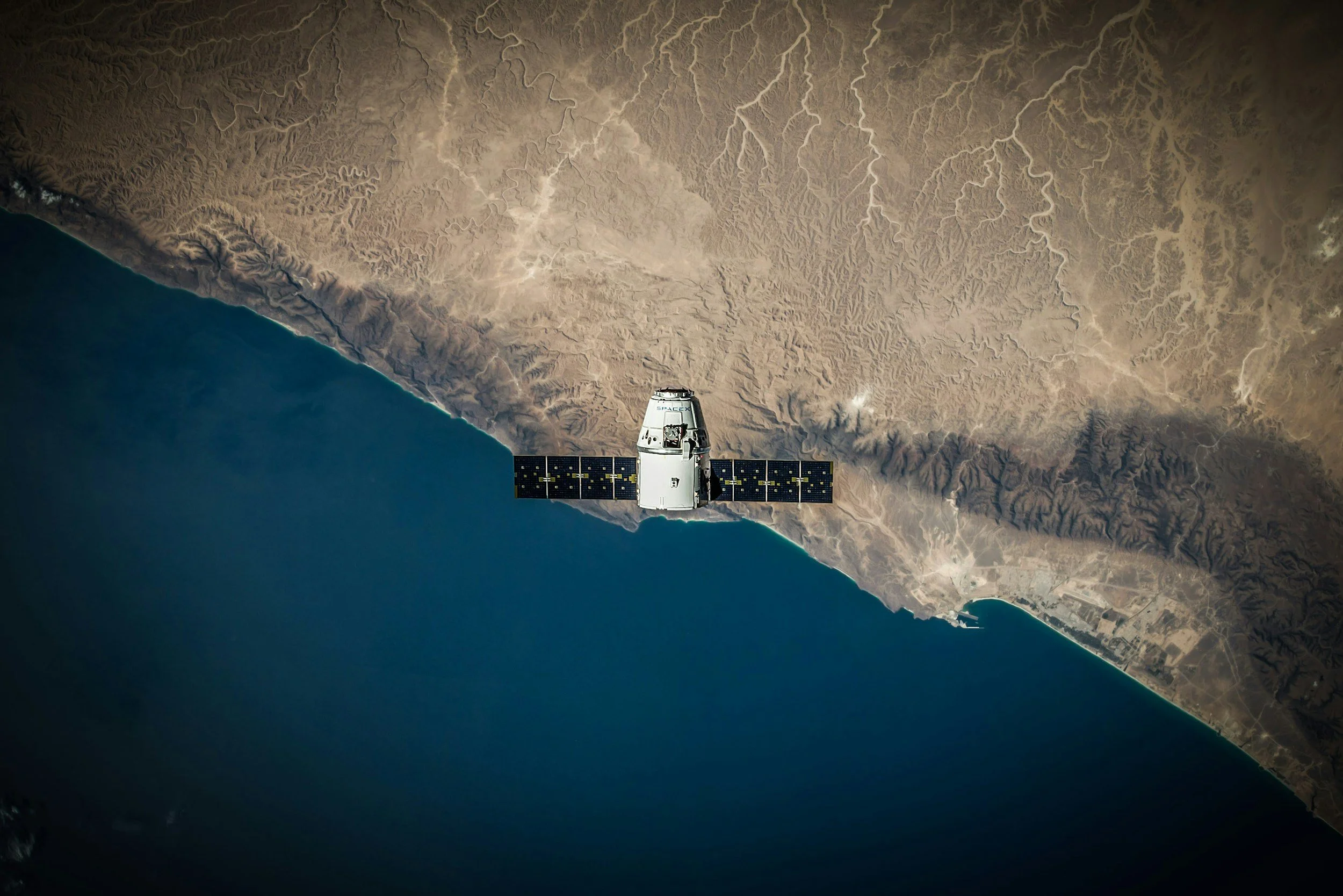
As of 2023, only 24.9% of the global seafloor had been mapped with high-resolution multibeam sonar systems. Its surface area is about 360 million square km (139 million square miles), and its average depth is 3,682 m (12,080 feet). Despite the ocean’s importance, the majority of it is largely unknown, due to limited detail from satellite captured data. We need to first map the oceans, before we can discover.
The World Ocean Database 2018 includes more than 15.7 million oceanographic casts made up of 3.56 billion individual profile measurements. Observation equipment are spread throughout the ocean tech domain, and include big data, digital platforms, blockchain, drones, sensors arrays, small satellites, genetics, and acoustics. This quantity emphasizes the role of artificial intelligence and machine learning in enhancing the collection and analysis of ocean data, allowing for more accurate readings and understanding of impacts. Data-driven strategies can enhance predictive and automated models for marine conservation, infrastructure management, and weather forecasts. By carefully developing these new technologies, ocean data and AI could improve governance towards equitable, transparent sharing of transboundary marine resources.
Regional Data and Platforms
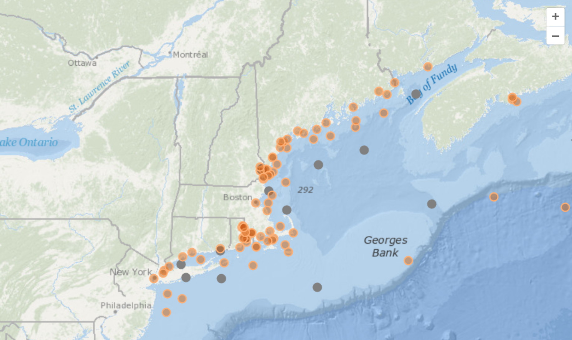
NERACOOS (Northeastern Regional Association of Coastal Ocean Observing Systems)integrates real-time oceanographic data collected from buoys, radars, and other sensors across the northeastern U.S. coast. NERACOOS delivers vital information on ocean conditions to improve safety, enhance the economy, and protect the environment. It supports maritime operations by providing data for weather forecasts, navigation, and alerts.
Brown University and University of Rhode Island’s Ocean State Model, and datasets from STORMTOOLS are helping proactive individuals and enterprises by facilitating informed decision-making also based on a sensor network and open-source platform with real-time time data of critical local ocean parameters such as sea level rise, salinity, temperature, wave and wind vectors, oxygen.
Autonomous underwater vehicles, or gliders, are being used by institutions like Woods Hole Oceanographic Institution (WHOI). These gliders traverse the water columns, collecting data on ocean properties over large areas and extended periods. They play a crucial role in gathering data that can predict weather patterns, ocean currents, and assist in academic research.
Key Attributes
-
Metrics and Measurements
Ocean data includes temperature, salinity, currents, and biodiversity, along with more specific metrics for industries. These are foundational for tracking climate change, resource health, and ecosystem shifts.
-
Buoy Data
Floating sensors collect real-time data on waves, weather, and water chemistry. Buoys serve as early warning systems for storms, tsunamis, and environmental changes.
-
Drone Data
Aerial and underwater drones capture high-resolution images and environmental data. They offer flexible, low-cost monitoring for coastal zones, reefs, and marine life.
-
Satellite Altimeters
These measure sea surface height and monitor ocean currents and sea level rise. Satellites provide broad-scale, long-term insights into global ocean dynamics.
-
Multibeam SONAR
This acoustic technology creates detailed 3D maps of the ocean floor. Used for research, mining assessments, and locating shipwrecks or ecological zones.
-
Bathymetry
Mapping the seafloor’s shape and depth reveals underwater topographies. Essential for navigation, habitat protection, and modeling coastal vulnerability.
-
Open Source Platforms
Shared databases and modeling tools democratize ocean knowledge between industry, academia and public. They enable collaboration between scientists, governments, and communities worldwide.
-

Scenarios
Collectively imagining what the future of the oceans might looks like in different contexts.
-

Drivers
Macro-level drivers that create broad-reaching impact, and influence our present and future.
-

Trends
Emerging trends are specific areas of change that hold potential for significant impact.
Let’s Work Together
Join our ocean-tech network.